SAFER-SIM Converter Virtual Consortium
Thank you for considering participation in the Safer Sim Converter Virtual Consortium. This page has been constructed to provide additional project and Consortium details. Participation shall be construed as agreement to the terms and conditions identified here.
Project Goal
A software tool capable of automatically converting roadway design models to simulator visual and correlated logical models. The converted model can be used by NADS scenario authoring software and the NADS miniSim™ driving simulator.
A video demonstrating the converter prototype can be viewed here.
Consortium Goal
In order to create a robust model converter, real-world design models must be used for test cases. Four models of varying complexity are requested from participating driving simulator laboratories. Labs are encouraged to request design models from any state Departments of Transportation associated with them if they wish to participate but have no design files available.
The consortium is envisioned as a technical advisory-type group who will identify 4 transportation design models for use in a driving simulator. Our primary simulator is the NADS miniSim™, but the converted simulator models will be industry standard OpenFlight™ and Wavefront™ OBJ format files and may be used on any simulator, provided credit is given to the University of Iowa Safer Sim and participating consortium members.
Your role as a member of the consortium is to:
- nominate a candidate model for conversion to participating consortium members,
- review candidate models submitted for conversion,
- offer your expert guidance and opinion to identify up to 4 candidate models for conversion,
- submit designated candidate models,
- provide model technical support (if needed) if your candidate model is selected for conversion,
- review the converted simulator model.
Primary communications will be conducted via email or conference call, or other electronic methods as needed.
Participating in the Consortium
Reply to this email indicating your interest. Everyone who wishes to participate will be contacted to follow up.
How to Submit Candidate Models for Consideration
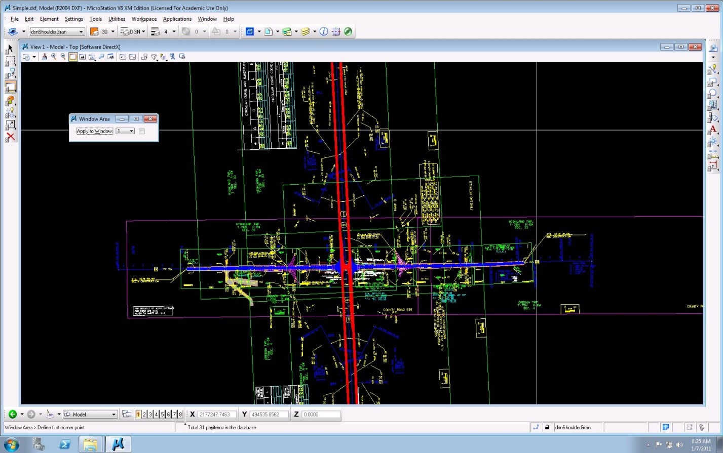
Create 1 – 5 screenshots of each model submitted for consideration. Email these to Shawn Allen.
Where possible, indicate in the screenshots or an accompanying description:
- Reason for submitting this model
- Approximate overall size/scale
Financial Obligations from Participating
None.
Disposition of Converted Model Files
Converted models shall be provided to all participating Consortium members for use in their laboratories. These models may be used for research and outreach activities.
Model Requirements
Each candidate model must be submitted as a Civil3D or Bentley Microstation LandXML model. The converter processes LandXML data directly.
All candidate models will be reviewed by the NADS team to evaluate suitability for the converter project. Although we will consider all model submissions, we anticipate the tool may not work on very large or very complex structures.
Due to budget and time constraints, please submit models no larger than 2 square miles in area.
The following are required entities necessary to produce a simulator model:
- TIN (surface geometry)
- Vertices
/LandXML/Surfaces/Surface/Definition[@surfType = 'TIN']/Pnts - Connectivity
/LandXML/Surfaces/Surface/Definition[@surfType = 'TIN']/Faces
- Vertices
- Boundary
- Breaklines
- Name
/LandXML/Surfaces/Surface/SourceData/Breaklines/Breakline/@name
- Name
- Alignments
- Name
/LandXML/Alignments/Alignment/@name - Length
/LandXML/Alignments/Alignment/@length - Start station
/LandXML/Alignments/Alignment/@staStart - Coordinate geometry
/LandXML/Alignments/Alignment/CoordGeom - Lines
/LandXML/Alignments/Alignment/CoordGeom/Line - Curves
/LandXML/Alignments/Alignment/CoordGeom/Curve - Elevation profile
/LandXML/Alignments/Alignment/CoordGeom/Profile/ProfAlign[@name = '{alignment_name}_P']
- Name
- Route edges
/LandXML/Surfaces/Surface/SourceData/Breaklines/Breakline[@name = '{route_name}-R_EOP'] - Lane edges
/LandXML/Surfaces/Surface/SourceData/Breaklines/Breakline[@name = '{route_name}-R_LN{lane_index}']
Additional information:
Safer Sim
Shawn Allen
Principal Investigator, Safer Sim Converter
National Advanced Driving Simulator
The University of Iowa
319.335.4598